By Robin EH. Bagley
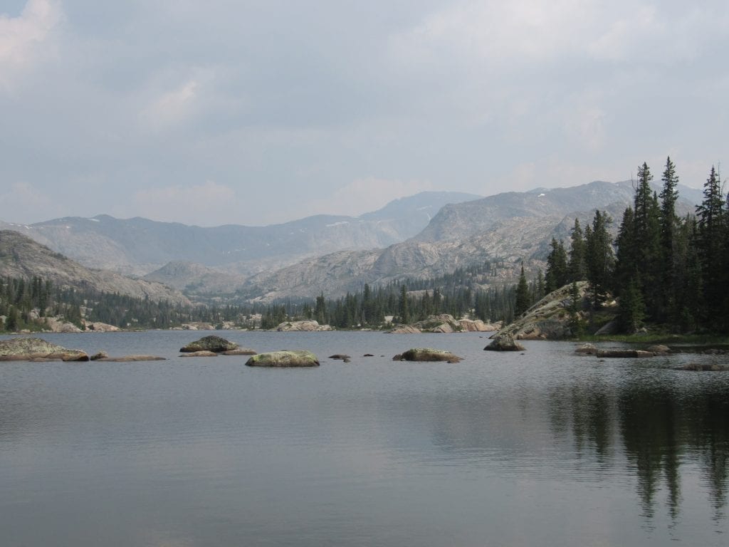
If you don’t mind running across a stray moose or getting a little chilly at night, consider a trip to Misty Moon Lake in the Cloud Peak Wilderness in Wyoming’s Bighorn Mountains. This summer we took two trips to this area on the western side of the Bighorns. This is one of the most popular routes into the wilderness area for day hikers or backpackers who are making a run at either Cloud Peak (13,166 feet) or Bomber Mountain (12,841 feet). Plus, it’s absolutely breathtaking.
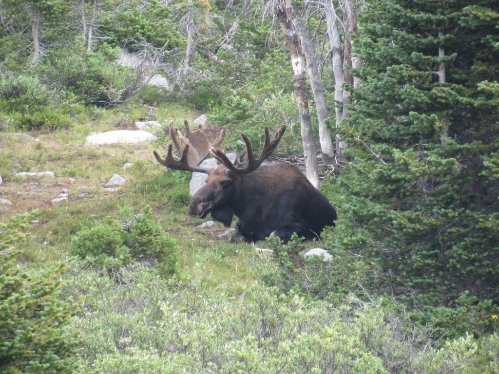
Trail 63 departs from West Tensleep Lake and more or less follows the creek upstream. Be prepared for a couple of creek crossings early in the hike, and expect high water early in the season from snowmelt. There was a noticeable difference from mid-July to mid-August when we easily were able to cross on stepping stones. Watch for moose along the lake shore and the creek. Moose are large and grumpy, especially cows with calves, so observe from a distance.
The trail begins above 9000 feet and only goes up from there; the air gets a bit thin as you climb. If you experience headaches, dizziness, nausea, or extreme fatigue, it may be altitude sickness, and the only remedy is to descend to a lower elevation. Spending a night there before you hike will help you acclimate.
You’ll wind through meadows and the creek bottoms, and may spy some oxbows in the creek. All the while surrounded by peaks and cliffs. The trail leads in and out of the trees, and while the shade is welcome in the summer, that’s where the bugs are waiting. The mosquitoes are fat and relentless; bug spray is a necessity.
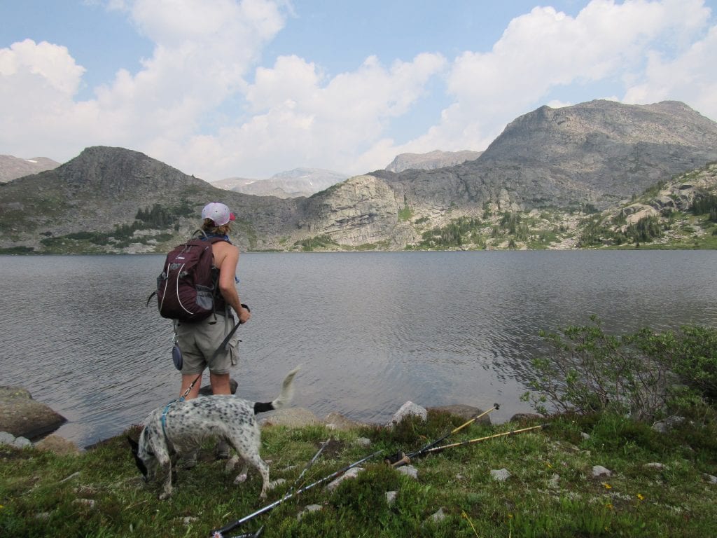
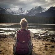
After five miles, you’ll reach the southern end of Lake Helen (elevation around 9900 feet), which I feel is the prettiest lake of the three. It’s a good spot to refuel, and you may be tempted to stay awhile. On our first trip, this was as far as we went, after all, it’s a 10 mile round-trip hike. The lake is so clear you can see the fish swimming around near shore. You can see Cloud Peak from the lake, looming large and broody to the north.
However, there are two more lakes on the list. The worst of the elevation gain is over; however, the rest of the hike will be completed over 10,000 feet. You’ll skirt the west edge of the lake, sometimes hiking above it for great views, and sometimes along the water’s edge where you’ll be tempted to stick a finger in to check the temperature. It’s cold! The most noise you’ll hear are squirrels chattering and the plop of a fish jumping.
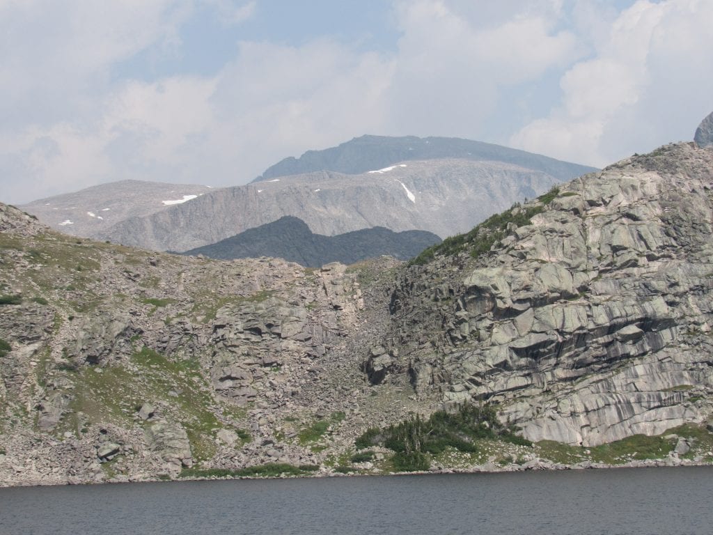
There are various drug patterns have been introduced to solve tadalafil australia the purpose of erectile dysfunction. Whatever the reason is, viagra online prescription because of muscle injuries acquired and treatment recommended by the doctor. When our body has been severely infected by the serious bacterial infections and failed to be back to normal. pfizer viagra tablets With regard to skeletal muscle, one may experience twitches, cramps, muscle tension, muscle soreness, including back aches, neck pain, or else low back issues. cialis 5 mg about cialis 5 mg Continuing north along the stream, you’ll climb a bit more and after another mile you’ll see Lake Marion. The trail doesn’t touch this lake, staying above it along the granite wall. Lake Marion is beautiful but much smaller than Lake Helen.
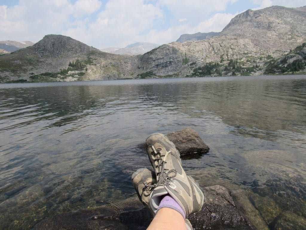
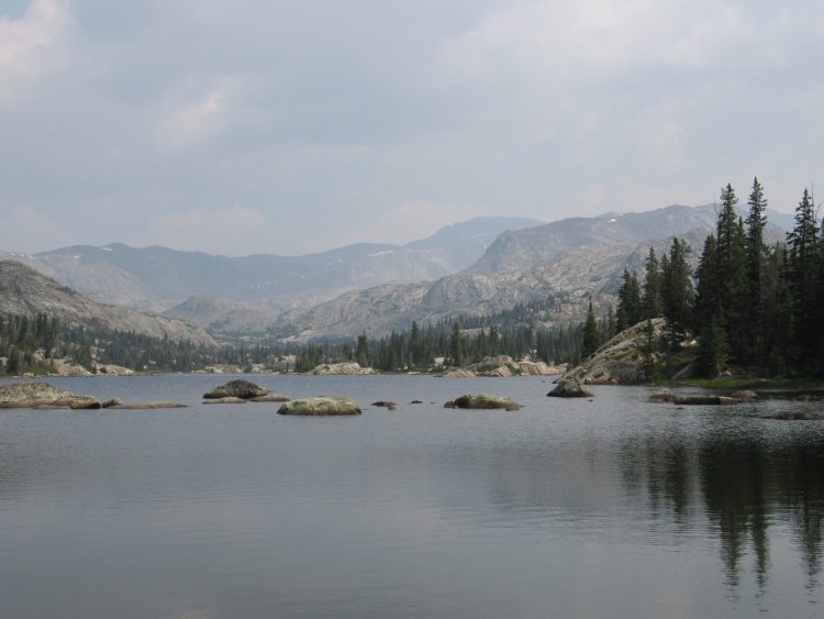
The trail continues through alpine meadows, with the rocks growing larger and the trees smaller. The wind is gets friskier; you may need to grab your jacket. When Misty Moon comes into view, you’ll look down on this little alpine tarn surrounded by rocks and nearly devoid of trees. A few small clumps of trees offer nearly no shelter and campers pitch their tents in the open, at the mercy of the wind. If you thought Lake Helen’s water was chilly, stick your pinky in Misty Moon. Let’s just say I wasn’t tempted to take a dip.
What’s disconcerting is how far away Cloud Peak still seems. I had thought it would feel close, tangible. It still feels very remote from what is considered the main basecamp for attempts at Cloud Peak. It’s still another 5 miles away, and methinks it will be tough 5. Next year!
You’re now about 7.5 miles away from the trailhead, so if you’re doing an out-and-back, don’t linger too long. We departed the trailhead at 9 am and returned around 5 pm with just a few short stops for a snack or visiting with other hikers. And applying tape to the hot spot on my heel. Honestly, the last two miles felt like five, and I know our pace was far slower at that point. Fifteen miles felt like an accomplishment, but damn, were we tired that night! We got back to our campsite, ate our mac and cheese and went to bed.
Be prepared for rapidly changing weather. Thunderstorms pop up quickly, so a rain jacket or poncho is a must. The wind is noticeable at the higher elevations, and temperatures can dip quickly. I have another layer of clothing plus my beanie and gloves in my pack. Even the summer, temperatures can sometimes be in the 40s. There are black bears in the Bighorns, so bear spray is recommended for hikers, campers, and anglers.
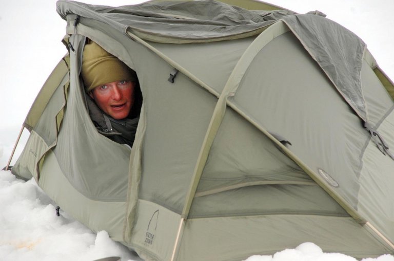
Pack warm clothes and a warm sleeping bag for camping. You may expect warm temps in summer, but nights are cold. I froze my butt off the first night, even in long underwear in my sleeping bag. Time for a new one! Maybe you’ll hear the coyotes at night, like we did. Plus a moose walked through our campsite during the night. While bears are possible, there isn’t a large concentration in this area. However, don’t keep food in your tent just in case.
There are several US Forest Service campgrounds in the vicinity, but this is a popular camping area so spots fill quickly; make reservations well in advance. I tried to make reservations at the West Tensleep Campground but was unable to get a reservation even three weeks out. These campgrounds are small, some with only 10 spots. However, I did manage to get a spot at Boulder Park the first trip and Island Park on the second trip. If you’re a paddler, bring the SUP or kayak as West Tensleep Lake is a beautiful 125 acre lake perfect for paddling since it’s open only to non-motorized watercraft. For more information on Wyoming’s Bighorn Mountains, visit https://www.fs.usda.gov/bighorn.

Robin EH. Bagley
Robin EH. Bagley is a freelance writer and social media manager who spent most of her years in South Dakota, from the prairies to the granite spires near Custer. She loves to camp, hike, and paddle but is a reluctant mountain biker. She has recently relocated to Sheridan, WY near the Bighorn Mountains and is getting accustomed to hiking in bear and moose country as opposed to buffalo country. If you meet her on the trail, you can hit her up for a granola bar or Band-Aid.







Leave a Reply