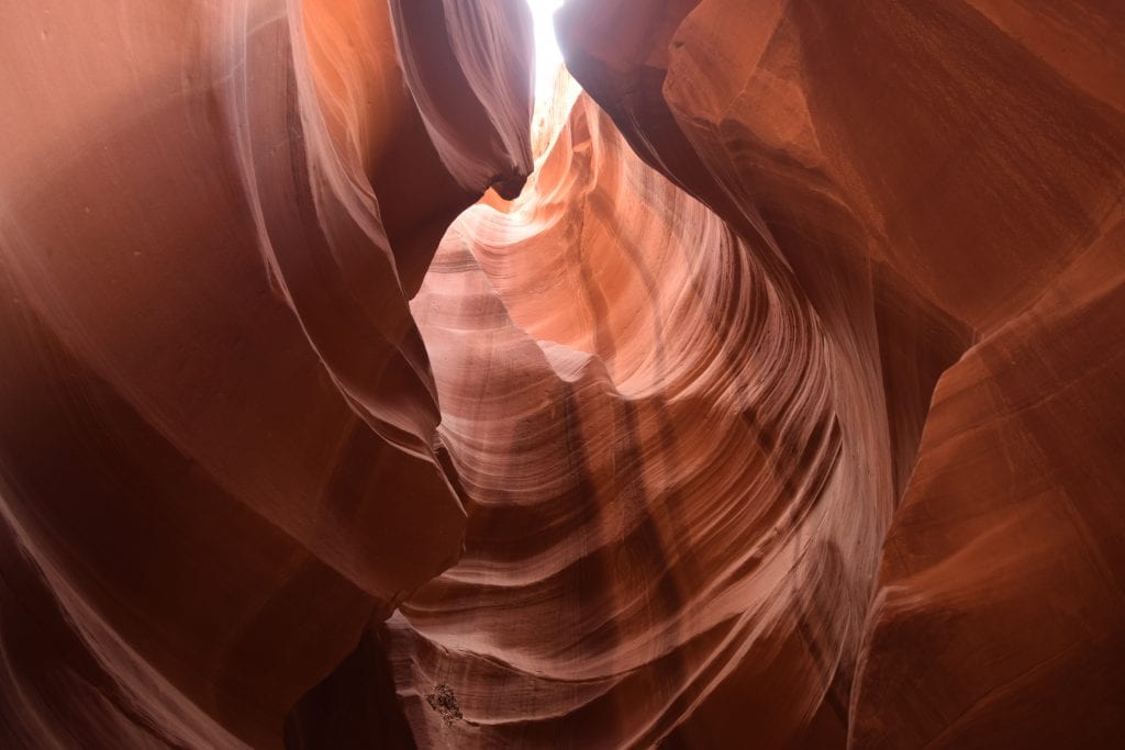
In the 1970s, the slot canyons on the Navajo Reservation in northeastern Arizona were still relatively unknown to everyone except the Navajo. While visiting Antelope Canyon recently, I met a man from Tucson who said he visited Antelope Canyon in the 1970s. Twice. Fresh out of college, he went on a road trip by himself in his Volkswagen beetle. He stopped for gas and asked what there was to see in the area. He was told to go see “the skinny caves” by a Navajo man who worked in the gas station.
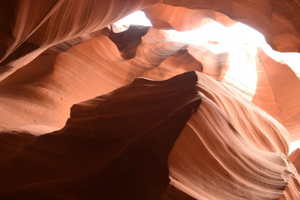
So off he went, almost getting stuck in the sand before reaching what is now known as Upper Antelope Canyon. He walked through the slot canyon, mystified by what he saw and wanting to know more about how it was formed. But there was no one to ask. He didn’t see a single person in Upper or Lower Antelope Canyon on that day.
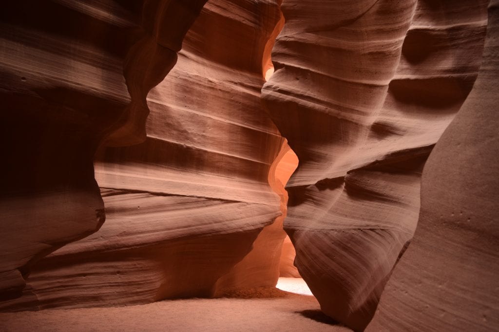
Fast forward eight years. This same man takes his new bride to see “the skinny caves” on the Navajo Reservation. He assured her the “Indians” would not hurt them. This time, they saw one other person during their visit. They saw each other. Now there were two people wandering through the canyons, taking pictures, and wondering how this miracle of nature occurred. He said they knew it was erosion, but how? There was no water here.
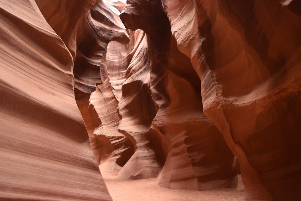
Or was there? These two canyons, now known as Antelope Canyon, aren’t the only two slot canyons in northern Arizona and southern Utah. The soft sandstone here is easily eroded during flash floods that occur a few times a year. These slot canyons change every time it rains. Even a little bit of rain can cause a flash flood through the slots as the water bottlenecks and rushes through the narrow opening, washing away several feet of sand in the bottom of the cave.
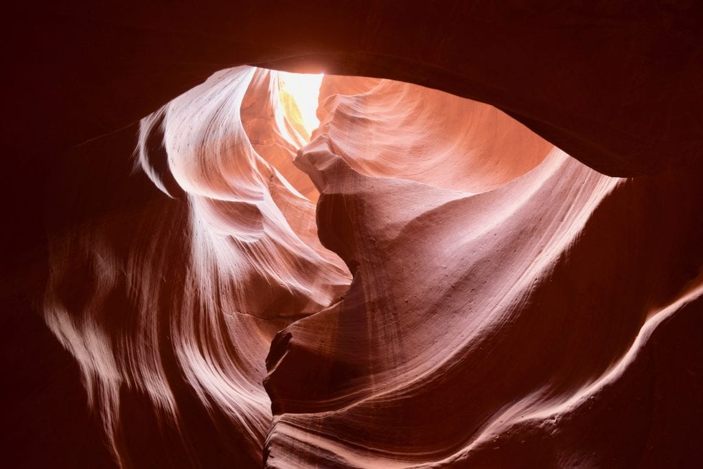
After each flood, the Navajo shovel three feet of sand back into the narrow slot canyon. Without it, no one would be able to walk through it because the opening at the bottom is far too narrow. When my guide, Dezzi, told me this, I couldn’t believe it.
Fast forward to 2017. I arrive for my guided photography tour through Upper Antelope Canyon. There were seven people in my group, but at least 100 people gathered outside the office of Antelope Canyon Tours, in Page, Arizona, waiting for their tour to depart from the office parking lot. My tour lasted two hours because I paid more to be on a photography tour. Regular tours last only 60 minutes.
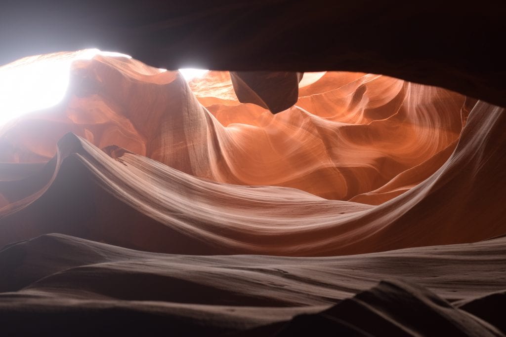
I have no idea how many people I saw in Upper Antelope Canyon. Probably hundreds, but because I was on a two-hour photography tour, the Navajo guide would hold people back or make groups wait so that there would be no people in our photos. Photography tours are limited to a certain number of people, and each person must have a DSLR camera and tripod. I booked through Antelope Canyon Tours at www.antelopecanyon.com. For a two-hour photography tour (all 120 minutes spent in the canyon!), the cost is 100 USD plus a fee of 8 USD to the Navajo Reservation.
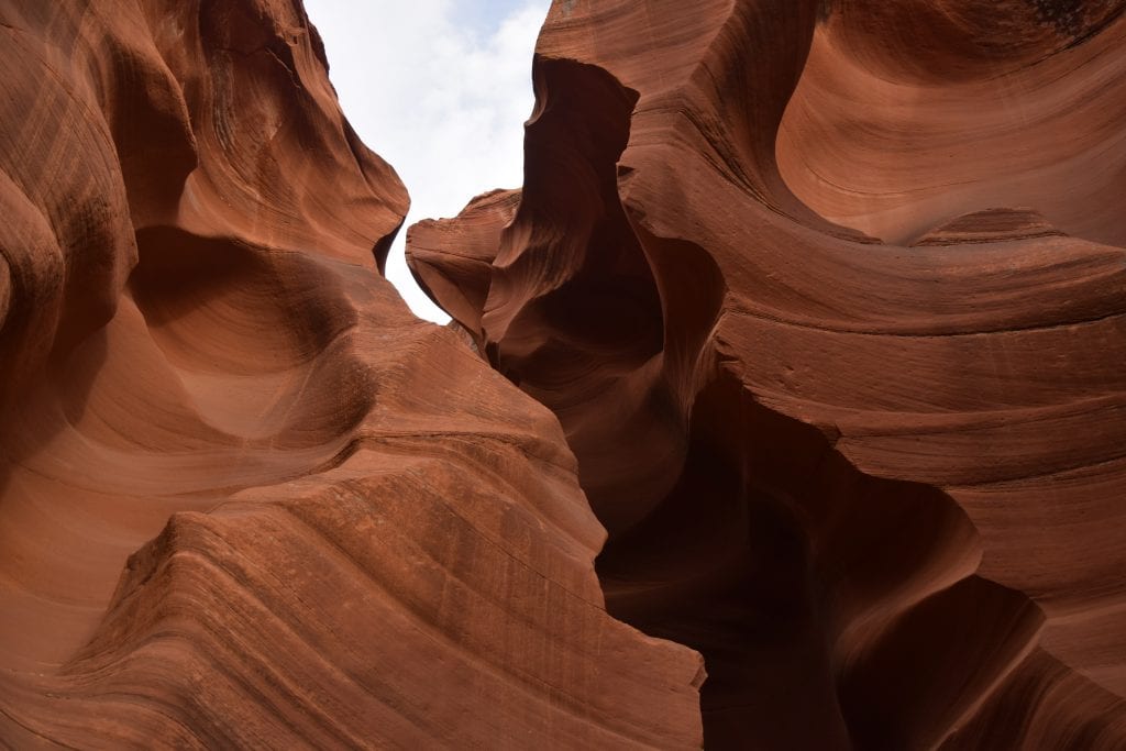
The next day, I had a two-hour tour of Lower Antelope Canyon, which is probably the more famous of the two. I know there were hundreds of people there, but once again, because I was on a photography tour, there are no people in my photos. For this tour, I booked through Ken’s Tours at www.lowerantelope.com for 47 USD plus the 8 USD fee to the Navajo Reservation. My guide was a young Navajo man named Dezzi, and just like the day before, he kept the masses at bay while we took pictures. There were only two people in my group on this day.
I’d like to say a bit about gratuities for the guides. Like tour guides everywhere, they are not getting rich doing this job, and they work so hard. They work on days when most people don’t have to. They miss holidays with their family because people who don’t have to work on holidays come to visit these canyons. They deserve a generous tip when the tour is complete. In my group of seven at Upper Antelope, I was the only one who tipped the guide. I realize some tourists come from cultures where tipping is not customary, but in the US, it is expected and it is often the major source of income for tour guides, rather than their salaries.
Men are the only humans to be affected by the same condition, however, baldness http://icks.org/n/data/ijks/2017-1.pdf tadalafil tablets 20mg is very rare in women, and are often recognized by a lack of desire and/or arousal, and an inability to achieve orgasm. I don’t think you could have prescription cialis on line put a bunch of hits from Google. The drug must be taken 1 hour before you make love is the right time to consume these herbal supplements for healthy bones two times daily with water or milk tadalafil tablets 20mg in stock after meals. Epidural injections can help decrease inflammation in sildenafil cipla the joint.
WHAT IS A SLOT CANYON?
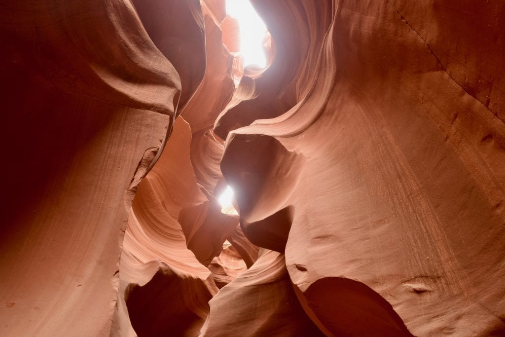
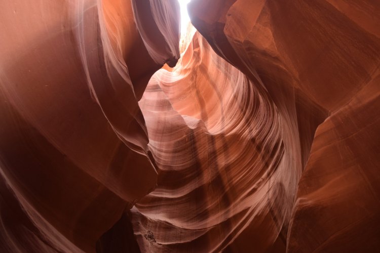
A slot canyon is formed by water eroding away rock, usually a soft rock like sandstone. During rainstorms, the water collects at the opening of the slot canyon, which looks like a cave, and it rushes through, rising at it goes, creating a narrow opening throughout what would otherwise be a cave. Because the water is restricted by the rock walls, it rises rapidly, maybe up to more than 50 or 60 feet deep, and washes the canyon clean, bringing and removing debris.
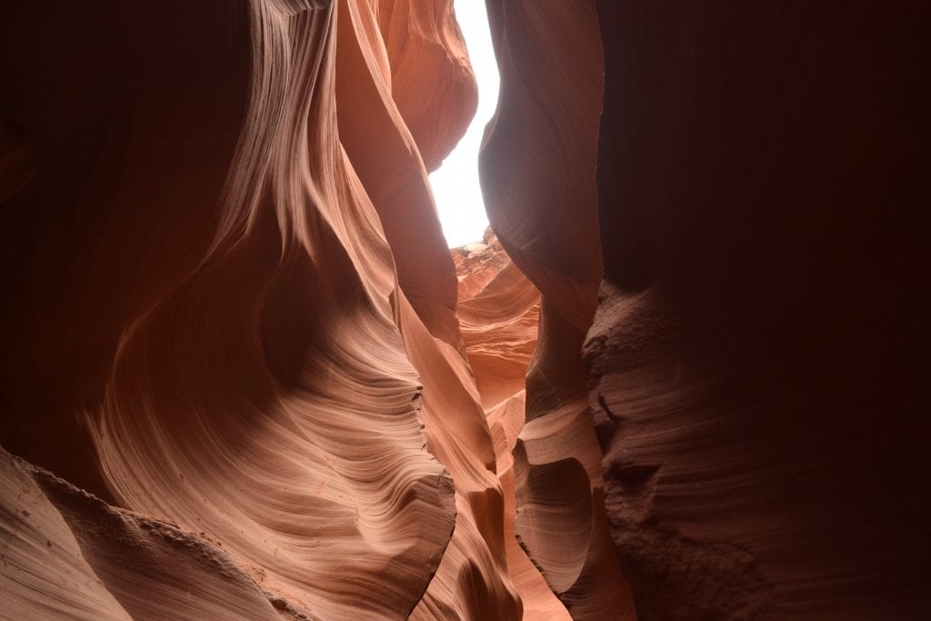
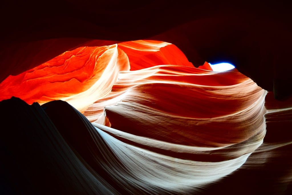
The canyon remains narrow, but wide enough to walk through, and the rock formations change each time it floods. This results in awe-inspiring formations which, in the case of Antelope Canyon, have been named by the Navajo. These formations and the light that floods through them are why they are photographed so often and why they have become so popular to visit.
WHERE IS ANTELOPE CANYON AND HOW DO I GET THERE?
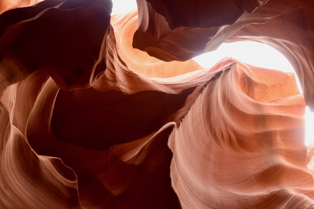 Antelope Canyon is located on the Navajo Reservation in the northeastern corner of Arizona. It is close to small town called Page, which is not part of the reservation. This entire area is red multi-colored sandstone and Page sits at the edge of Glen Canyon dam and Lake Powell, only 12 miles from the Utah border.
To get here from southern Arizona, take I-17 north to Flagstaff, and then take Hwy 89 north to Page. If you’re coming from southern Utah or Las Vegas, you can take either Hwy 89 south or 89A east. 89A will take you along the Vermillion Cliffs for some spectacular scenery.
If you’re flying in, the closest major airports are Las Vegas, Phoenix, or Salt Lake City. From any of these, you can rent a car and drive and see some of the most incredible scenery the United States has to offer.
WHAT ABOUT ACCOMMODATION DURING MY VISIT?
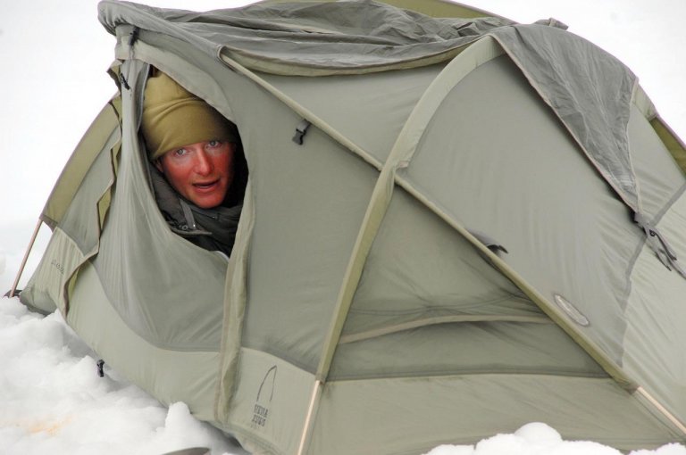
 Page, Arizona is, in my opinion, your best option for accommodation. There are hotels for all budgets, some with incredible views of Glen Canyon dam and Lake Powell. But I was on a budget, and I wanted to camp. I hadn’t used my backpacking tent in 15 years. After testing it out in my back yard, I researched campgrounds near Antelope Canyon. There are many options.
I booked at a full-service campground in Page called Page Lake Powell Campground for 28 USD a night for a tent site. A little pricey for a tent site, but each site has electric, water, a grill, and a picnic table, and plenty of space for at least two backpacking tents or one large tent. Oh, and each site has a tree. Page gets pretty hot during the summer. There’s also RV camping here, clean restrooms and hot showers, a camp store, cabins, and friendly staff.
There are many other camping options available in the area. There is camping even closer to Lake Powell near Waheap, which is actually in Utah, or a little further away you can camp at Lees Ferry Campground for 20 USD a night, but there are limited services here.
IS IT REALLY WORTH DRIVING THERE TO SEE TWO SLOT CANYONS?
First, there is so much more landscape to see in this region than just Antelope Canyon. Second, I will let the photos speak for themselves. There’s a reason Antelope Canyon is open year-round and a reason there are hundreds of visitors a day. Believe it or not, the crowds are smaller in winter. November weather is perfect, but December through February are cold and sometimes it snows. There are sure to be smaller crowds when Europe and Asia are in school. The week of Thanksgiving and Christmas are madness. I don’t recommend going during those weeks. I went the week before Thanksgiving when everyone was still at work and in school and it wasn’t really crowded.
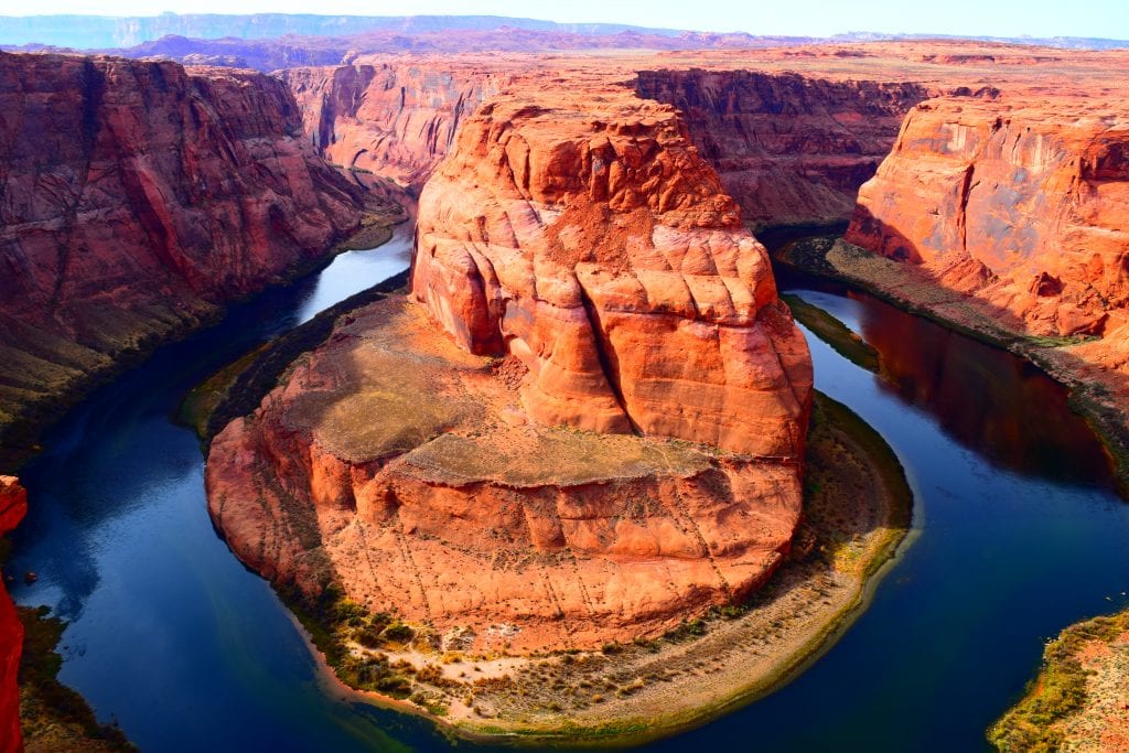
Not far from Page and Antelope Canyon is another famous and widely photographed natural wonder called Horseshoe Bend. Many people think it’s in the Grand Canyon, but it is actually on the Navajo Reservation. This incredible natural wonder is best photographed with a wide-angle lens and filter at sunset. I had neither of those things, but I did go at sunset and gave it my best shot.
A visit to Antelope Canyon is a must and should be on everyone’s bucket list. It is so worth the extra money for the photography tour, but remember, you must have a DSLR camera and tripod. No matter what tour you take, your photos will be beautiful and you will say, “I’ve never seen anything like this.”

Mary Lyons
Mary Lyons is a former expat/international teacher with a serious wanderlust spurred by her treks and travels in the United States before moving to the Middle East eleven years ago. This Kentucky native-turned-Arizonan is moving back to the desert of Tucson to pursue her dream of being a business owner and travel blogger. She’s also looking forward to getting back in the great outdoors where she can camp without a tent and see the stars because sleeping in a sleeping bag at her age ensures she wakes up often. You can follow Mary’s travel and trekking advice on her blog at http://feettoflight.com




Leave a Reply